Tropical Storm Ian headed this way.....
- Thread starter Bazza
- Start date

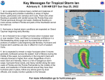

A couple of models (the EURO in particular) showing landfall in the Tampa Bay/St Pete area, then hugging the coast up to the big bend area. If it stays off the coast, longer seems it might break up quite a bit before hitting the big bend, if it hits the Tampa area first, could be nasty. Current track has us in the Orlando area getting winds upwards of hurricane force, with gusts approaching 100. I don’t expect anything worse than some power outages here.
Side note: Jim Cantore has apparently been sent over to Clearwater. Typically a harbinger of doom. Who knows at this point though.
Side note: Jim Cantore has apparently been sent over to Clearwater. Typically a harbinger of doom. Who knows at this point though.


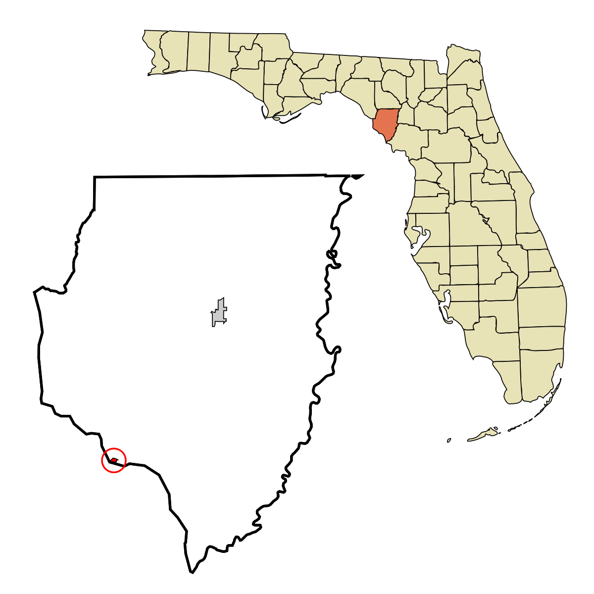
Bazaar, how close are you to Horseshoe Beach? The Accuweather projection shows that as landfall point.


Yeah I just heard.Bazaar, how close are you to Horseshoe Beach? The Accuweather projection shows that as landfall point.
It's way on the other side of the state and north of me......


Your sister is in for some rough weather, @Padreruf ! I hope she has a support system in place to assist.Bazza -- do me a favor and make sure it gets worn down before it comes up to Charleston! Seriously, my sister in law lives at Holmes Beach, just below Tampa. Could be rough on those folks on the West Coast of Florida.
I doubt you will experience much havoc where you are, though.
BTW, all the surf trips up the coast - we always made it a point to stop at Folly Beach! Loved that place!
This is a pretty good site to monitor things:

Florida - Weather Forecast Maps | Ventusky
Florida ☀ ✅ Weather forecast for 10 days, information from meteorological stations, webcams, sunrise and sunset, wind and precipitation maps for this place
 www.ventusky.com

Hurricane Ian strikes Cuba, Florida braces for winds, floods
Officials in Florida ordered 2.5 million people to evacuate.
 www.actionnews5.com
Yeah, thankfully, while STP is pretty flat, there is some slight elevation overall. My friend has a shop directly downtown and he's 51' above sea level.St. Pete Beach and north on highway 696 is awfully low. They'll see some flooding.
Like most long-time Floridians, he's gonna hunker down and wait this out.
I work in downtown St. Augustine, right on the water on a little peninsula. It doesn't take much to put our parking lot under water. We'll likely get a couple days of straight rain from this hurricane. We are preparing for our building to get flooded. Planning to telework at the end of the week.
I'm in central Georgia and we're in the "cone". Current track has it going east of us, as a depression which puts us on the "better" side. We should be okay, but I remember Michael in 2018 doing real damage up here and knocked out our power for about 20 hours. (I didn't win any husband points as I was down in Orlando teaching a course when it got there. She didn't give me credit for the power coming back on five minutes after I got home.)
Just got a text from USAA about Ian with a link to information about keeping us safe. After Michael, they reimbursed us for the spoiled food in our fridge within 36 hours.
Just got a text from USAA about Ian with a link to information about keeping us safe. After Michael, they reimbursed us for the spoiled food in our fridge within 36 hours.
Latest threads
-
Time to un-vacate 2005-2007 on field victories and un-forfeit the 1993 season?
- Started by CmdrThor
- Replies: 3
-
-

-
SIAP there was an article that Joe K interviewed for assistant coach
- Started by mlingerfelt31
- Replies: 11
-
 Final Home Midweek for Alabama Brings Samford to The Joe
- Started by Diamond Tide
- Replies: 0
-